Ottawa is probably the last place you’d expect a tsunami to hit. But thanks to funding from the Canada Foundation for Innovation, they will be a regular occurrence at uOttawa soon enough.
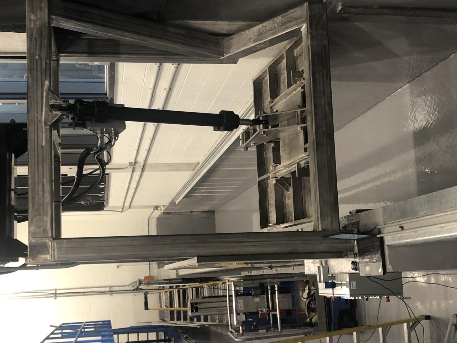
Located in the University of Ottawa’s STEM Complex, the Water Resources Laboratory will be making waves with their new tsunami and earthquake simulators. The experimental research facility is the only one in the world with a submerged seismic table to model the effects of undersea earthquakes, a custom-designed wave generator to create tsunami-like waves, and a sediment recirculation system to simulate the erosion and sedimentation processes that alter river and coastal landscapes.
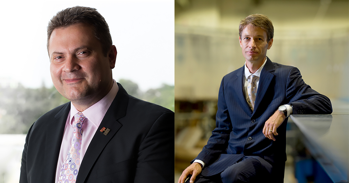
In this facility, professors Ioan Nistor and Colin Rennie from the Faculty of Engineering will be leading an international team of academic, government, and industry experts in looking at ways to mitigate and prevent damage and loss of life from water-related hazards.
This collaboration is one of five uOttawa projects that will share $23 million from the 2020 Innovation Fund.
We asked professors Nistor and Rennie to describe their new simulation systems and to tell us how this unique research equipment will help preserve our infrastructure and protect coastal communities.
This simulator sounds like something you might find on a Hollywood set. Can you describe what it looks like and how it works?
The Multi-Hazards Simulator (MHS) will be an experimental research flume, a water conveyance channel designed to mimic river or coastal flows that is outfitted and customized to study floods, tsunamis, storm surges, and earthquakes.
The Water Resources Laboratory has a large water reservoir and two high-capacity pumps to create flow in the flume, which is 30 meters long, 1.5 meters wide and 1.4 meters deep. The flume has a special, rapidly opening swing gate that can store water and then rapidly release it to create tsunami-like waves or dam-break flows.
The wavemaker will be a large vertical paddle that can be precisely pushed back and forth to create surface waves like the ones that flood coastal areas during storms. One side of the flume is constructed of glass so that we can observe the impact of extreme flows and waves on infrastructure.
One of the concerns with river floods and tsunamis is how their erosive power can move sediment, which destabilizes infrastructure, such as roads and buildings. Our sediment recirculation system, equipped with a large slurry pump, will allow us to study these processes over long periods of time by sending transported sediment back to the other end of the flume.
Finally, the underwater seismic shake table will be a large horizontal platform within the flume that can be moved laterally and/or vertically to simulate an earthquake. With this unique equipment, we’ll be able to study the damage that earthquakes cause on dams and other hydraulic infrastructure, such as breakwaters, offshore platforms, and wind towers.
Can we swim in it?
You could actually both swim and kayak inside the new flume – however, lab safety rules forbid it. Future research may include investigating the stability of people under extreme flow conditions, such as flash floods. So, yes, maybe you could try swimming in it, but only for the sake of science!
How will your research be applied in the real world?
Throughout history, humans have settled near rivers and coastlines. But these communities are increasingly vulnerable to storms, hurricanes, and floods. The research conducted with the MHS will provide greater insight into this vulnerability.
We usually design our roads, bridges, dikes, ports, and buildings so they can avoid or withstand the typical flow and sea storm events that we have observed in the past. But climate change appears to be increasing the frequency and magnitude of river floods and coastal storm surges, and with that, the risk of damage to our infrastructure. This risk is further exacerbated by the fact that infrastructure in Canada, and throughout the world, is aging.
Research conducted with the MHS will lead to new codes and standards, which will be used by practicing engineers to design and maintain our infrastructure. By studying extreme flow processes, our research can inform infrastructure maintenance strategies and lead to new designs that are sustainable and resilient. We will also be able to test the solutions that engineers come up with, and see whether they withstand our extreme flow simulations.
Can you give us examples of vulnerable populations that stand to benefit from your work?
Historical communities that settled and built in the floodplain, such as the one at Pointe-Gatineau, remain at risk. By better understanding how overbank floods propagate through neighbourhoods, we’ll be able to develop and test mitigation strategies and infrastructure design solutions to minimize flood risk.
Canada’s west coast periodically experiences the threat of large earthquakes and subsequent tsunamis; in the past, these events have caused massive damage to coastal communities. This simulator will help design resilient infrastructure and also assist disaster management planners in designing proper mitigation strategies.
The Canadian Arctic is also exposed to new challenges due to shrinking ice cover in the Arctic Ocean and more frequent and intense storms in the North. Although climate change will open up northern navigation routes, it will also bring challenges to current and future port development in the Arctic.

What got you interested in this work? What do you enjoy most about what you do?
[Nistor]: While doing my PhD in Japan, I was exposed to the dangers of earthquakes and typhoons. Their tremendous power, and the helpless feeling that I personally experienced during such events, stirred my curiosity and led me to try to understand what can be done to ensure the safety of people and their coastal communities.
Later on, while conducting forensic engineering surveys in coastal areas affected by extreme tsunamis and hurricanes, I realized that little had been done to protect some of the critical infrastructure, and the people taking refuge in them, during such events.
In my day-to-day work, I greatly enjoy working with, and learning from, students and peers. And last, but not least, my work in coastal engineering has taken me to some of the most mesmerizing beaches around the world, something I dreamed of doing from childhood.
[Rennie]: I have always spent a lot of time looking at rivers. I grew up in a city where river valleys were the most natural areas; the floodplains had wisely been protected from development to minimize flood risk. As a young child, I was drawn to these forested valleys and played there often.
However, it was evident that the rivers themselves had been destabilized due to increased stormwater flow from surrounding development, and that this had diminished the water quality and fish habitat. This spurred my initial interest in studying rivers.
I have since had the amazing opportunity of examining the erosion and sedimentary processes that shape rivers throughout the world. Most recently, I observed the terrible effects of major river floods, such as those that occurred in Ottawa and Gatineau in 2017 and 2019, and in Calgary in 2013. These events have motivated me to better understand the mechanics of overbank river floods, with the goal of providing solutions to reduce flood risk.
